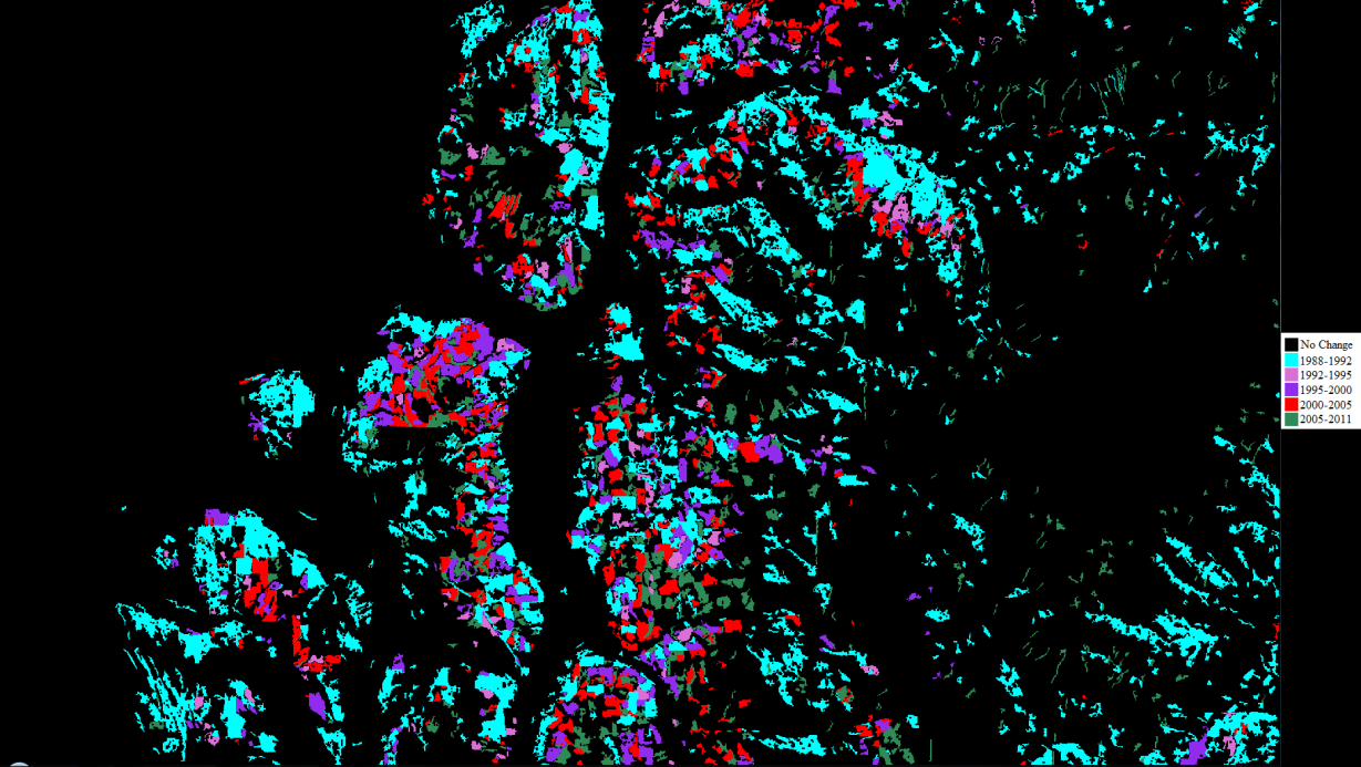
Timber harvest are one of the Pacific Northwest’s most abundant natural resources which needs to be sustainably managed. In this study, I used six time sequential Landsat satellite images from 1988-2011 with Tassel Cap Transformation on the Thematic Mapper Bands to identify the change in timber regions throughout the Baker to Bay Landsat image in north western Washington State and southern British Columbia. The objective of the study is to identify where, when, and the amount of logging throughout this image. To achieve this, I performed an Iterative Self Organizing Data Analysis on a composite change image and assigned information classes of timber harvest year. Results show a general decline in timber harvest, and private land owners and the department of natural resources harvesting the largest amounts of timber. This approach to mapping timber harvest change is efficient and generally accurate, but without ground truth data, the degree of accuracy cannot be calculated.
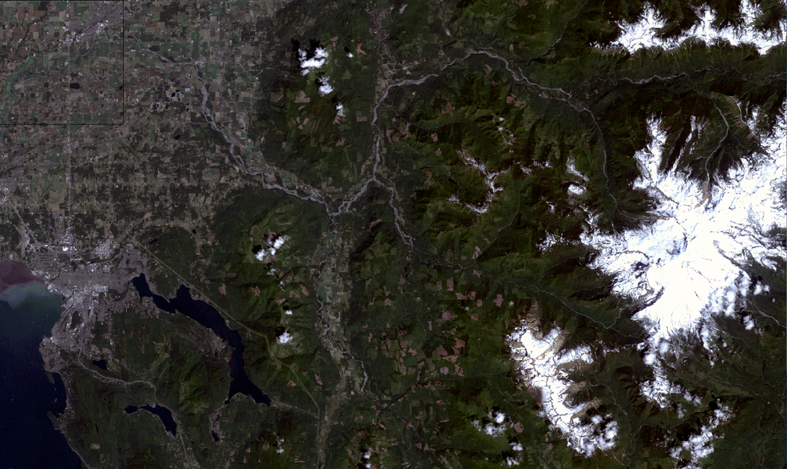
 Figure 1. True color image of Baker to Bay Image used in this classification. This image is from summer 2011 and was used in the classification.

Figure 2. Final timber harvests classification for the Baker to Bay Image. A majority of the image indicates no change has occurred in relation to timber harvest. This classification is a result of elevation and forest masking, as well as sieving and clumping of pixels.
Table 1.Sequential Timber Harvests in the Baker to Bay Image in different land ownership areas. Total area of forest in each ownership category is calculated generated from the combination elevation and forest area map. This total area is used in calculating total percentage of harvest, which is then normalized by the number of years in each time interval.
Full Report: Reedy_Lab4
