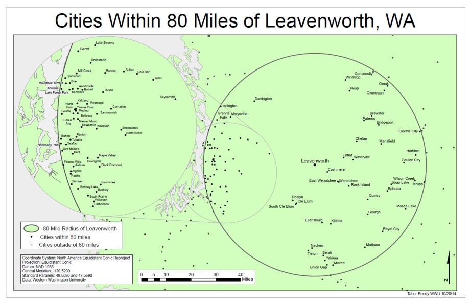
The purpose of this exercise was observe the associated distortions of direction, size, shape, and distance associated with different projections. The distortions were first observed on a Tissot’s indicatrix map before being transferred applied to a radius around the city of Leavenworth Washington. The premise was to create a delivery radius of 80 miles around the city to show where Leavenworth could deliver too. We manipulated already existing projections in order to minimize distortion of shape and size around Leavenworth. The final map uses the Washington North State Plane Coordinate System with the 1983 North American Datum. This is a secant conic projection. As always, higher res PDF link at the bottom. This map was what got turned in, but there could be significant revisions to improve the cartographic product.
-
Subscribe
Subscribed
Already have a WordPress.com account? Log in now.
